
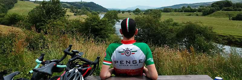
Local routes starting from SE20 Cycles may be sent to adultrides@pengecc.org. Include the link from Ride With GPS and provide a short description. Please test-ride it first to check one-way systems, public access and great places for cake.
This set is provided in addition to our large set of standard Sunday morning routes.
Long (Sunday mornings)
| Route name | Distance | Elevation | |
|---|---|---|---|
| Exedown | 53.7 miles | 3,365 ft | |
| The Valleys | 54.2 miles | 3,600 ft | |
| Round the Horne | 54.6 miles | 3,647 ft | |
| Hubba Hubbards | 55.1 miles | 3,374 ft | |
| Newchapel | 55.4 miles | 3,275 ft | |
| Goathurst the nice way | 56.5 miles | 3,329 ft | |
| The Star and Carter | 57.5 miles | 3,642 ft | |
| Fordcombe | 59.0 miles | 4,286 ft |
Gran Fondo (100km to 100mi)
| Route name | Distance | Elevation | |
|---|---|---|---|
| The Lost Village of Dode | 63.6 miles | 3,594 ft | |
| Old Soar Rd | 65.6 miles | 4,169 ft | |
| Withyham | 67.6 miles | 4,496 ft | |
| Peggy Slender | 68.4 miles | 4,188 ft | |
| The Stegosaurus | 73.2 miles | 4,242 ft | |
| Hartfield | 71.7 miles | 4,744 ft | |
| Brenchley | 82.4 miles | 5,377 ft | |
| Fairwarp | 87.4 miles | 6,737 ft |
Audax (several hours)
| Route name | Distance | Elevation | |
|---|---|---|---|
| Mayfield | 106.8 miles | 8,181 ft | |
| Close to the Egerton | 107.5 miles | 5,602 ft | |
| Chilham | 125.0 miles | 7,129 ft | |
| Black Down | 125.3 miles | 6,600 ft |
Gravel & Off-Road
| Route name | Distance | Elevation | |
|---|---|---|---|
| Offroad Stane Street | 72.2 miles | 5,023 ft |